Field Observations along the Senegal River – Senegal and Mauritania, West Africa
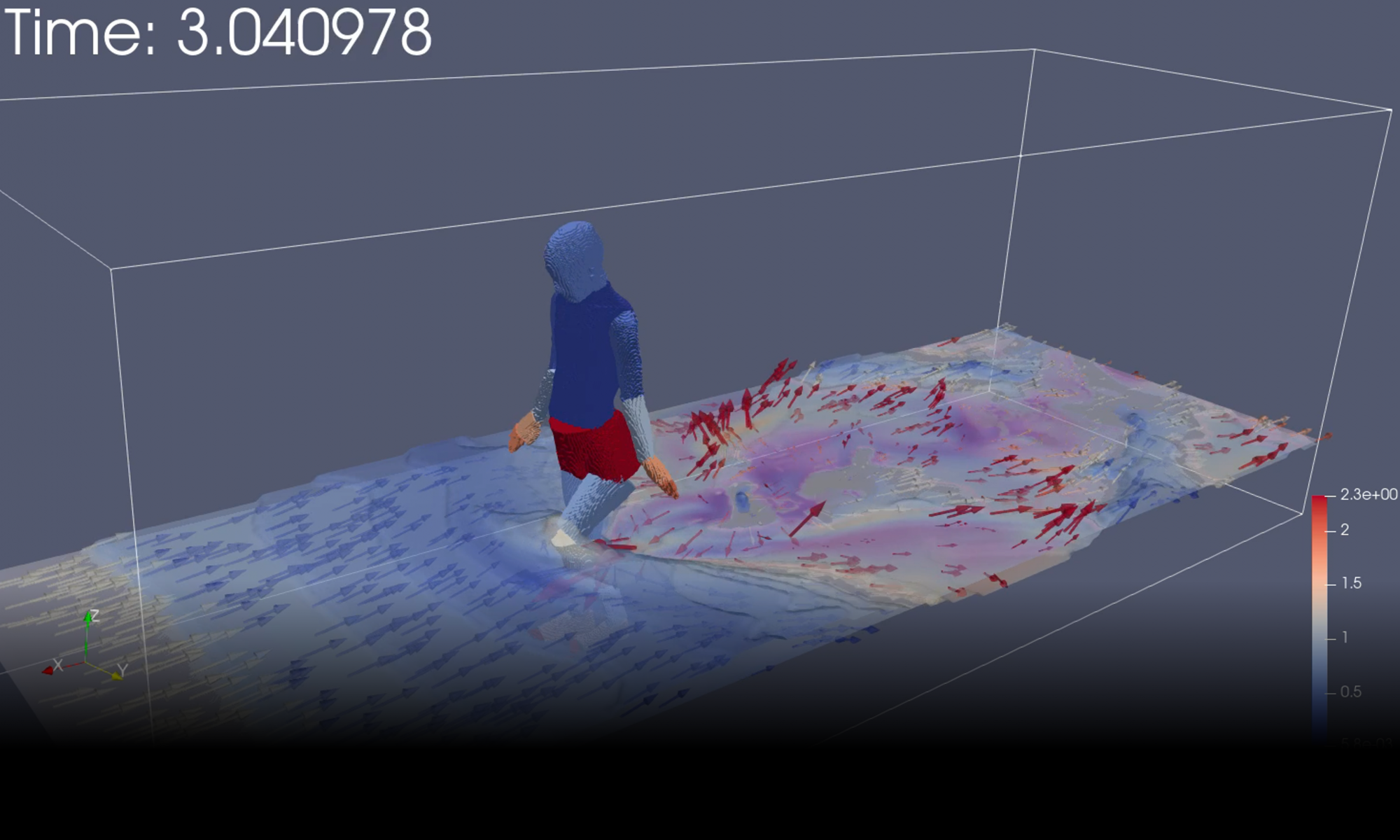
During the rainy season, extensive flooding occurs in the lower Senegal River basin in West Africa, causing significant difficulties for rice cultivation. Our research aims to simulate the extent of flooding and assess the resulting damage, as well as the potential effectiveness of future flood control measures.
Field investigations are essential for developing reliable numerical simulations. On this research trip, we entered Senegal and then traveled overland to Mauritania, conducting field observations of the Senegal River, which forms the border between the two countries.
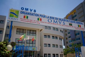
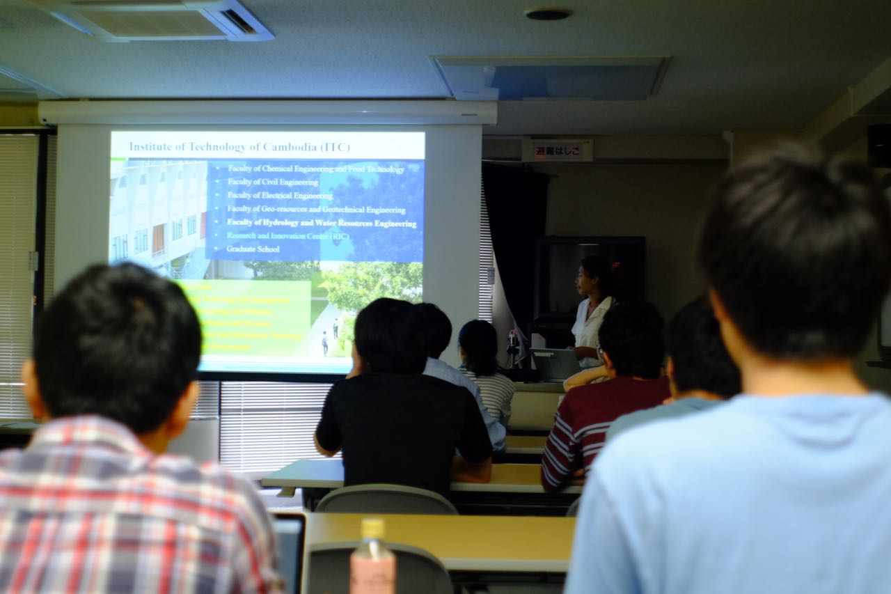
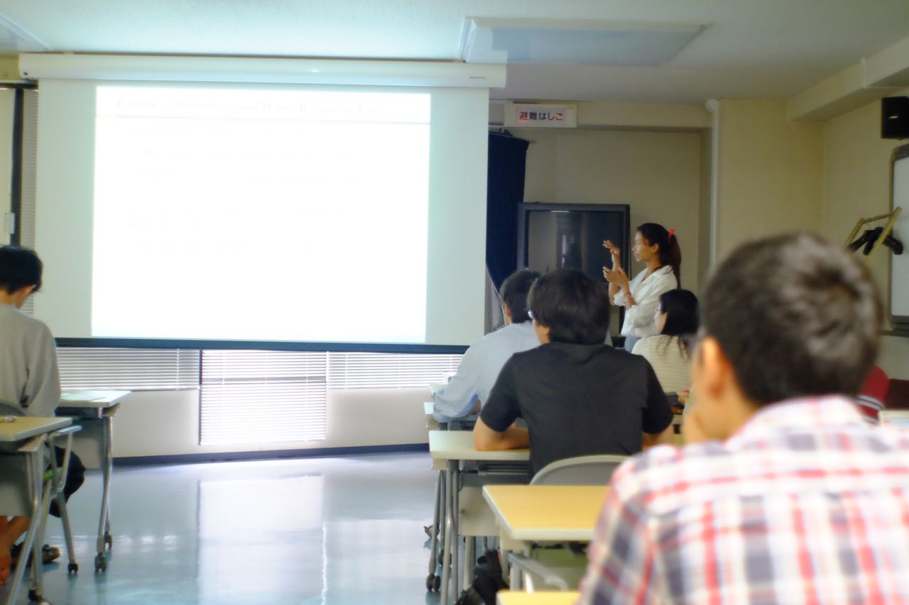
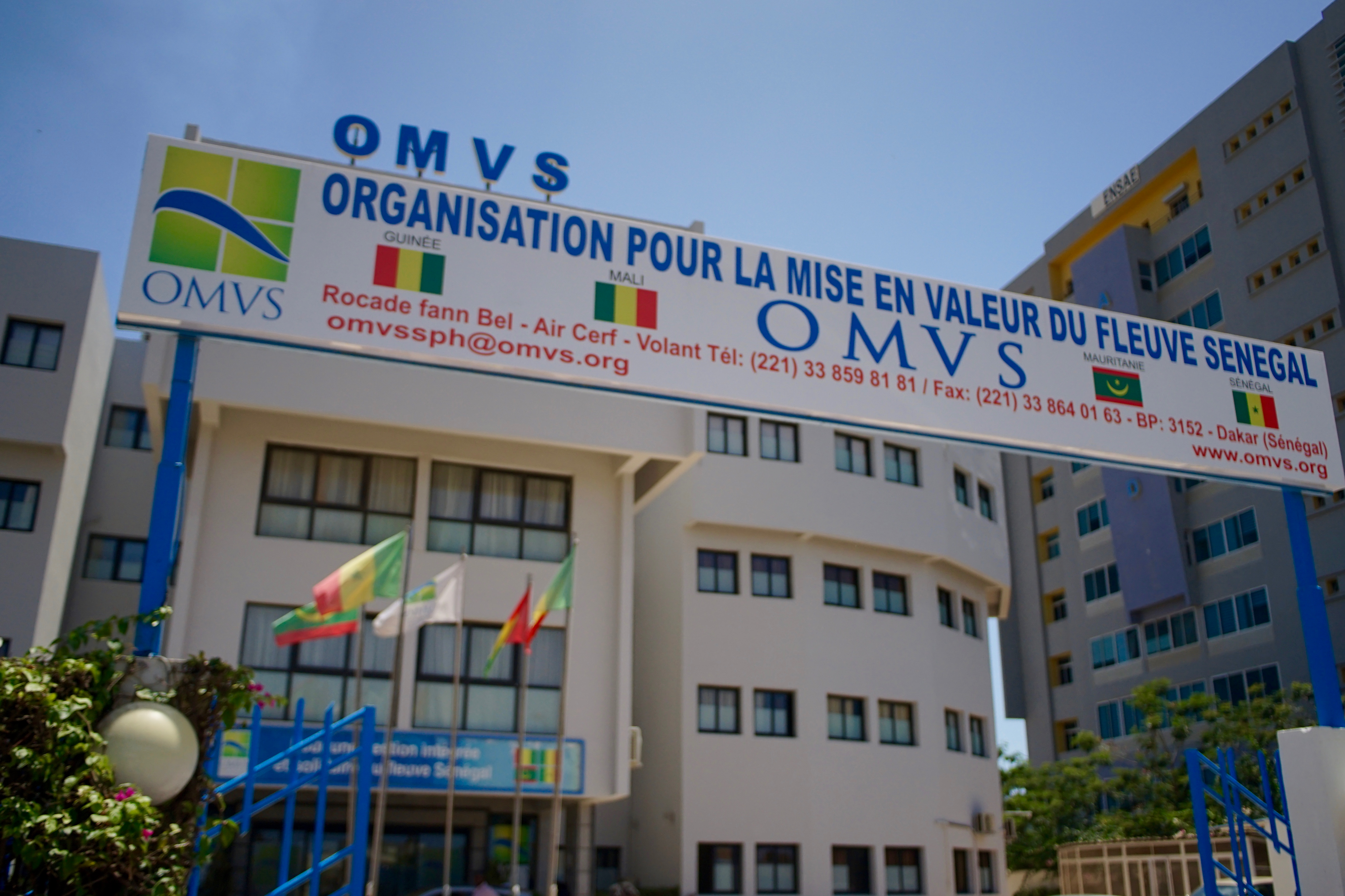
We arrived in Senegal through Dakar, a city famous for the Paris–Dakar Rally. Our first visit was to the Organisation pour la Mise en Valeur du fleuve Sénégal (OMVS), the Senegal River Basin Development Organization, whose member countries include Senegal, Mauritania, and Mali. We introduced our research activities and gathered information from local staff.
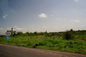
Rainfall appeared to be particularly abundant during this rainy season, and Senegal was covered in lush greenery.
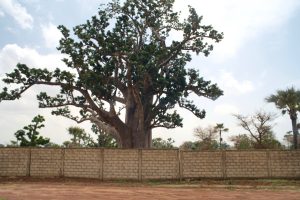
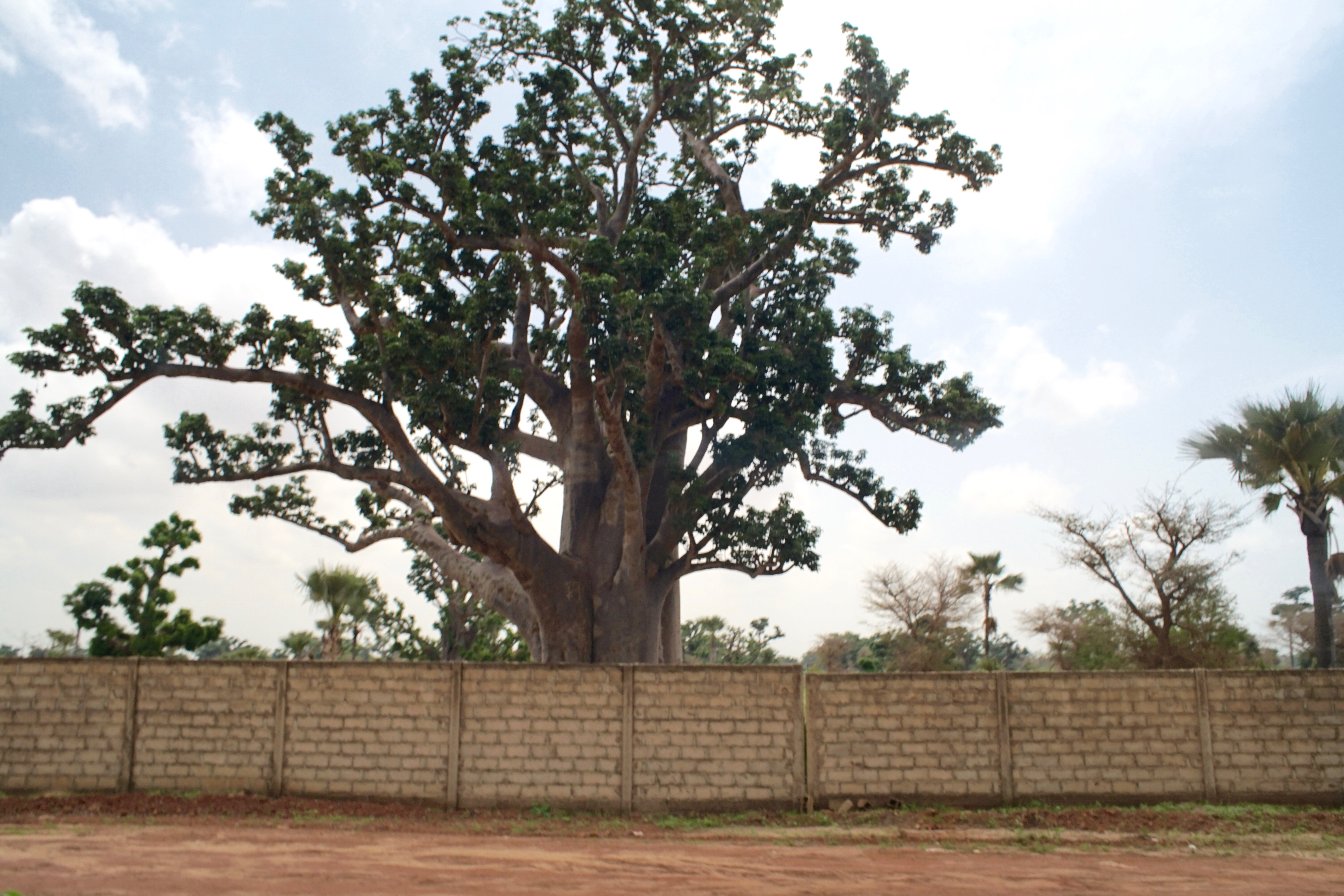
Even in the urban areas of Dakar, many baobab trees can be seen.
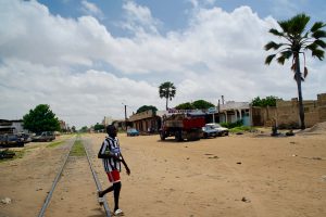
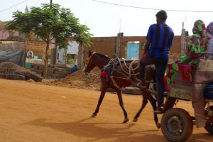
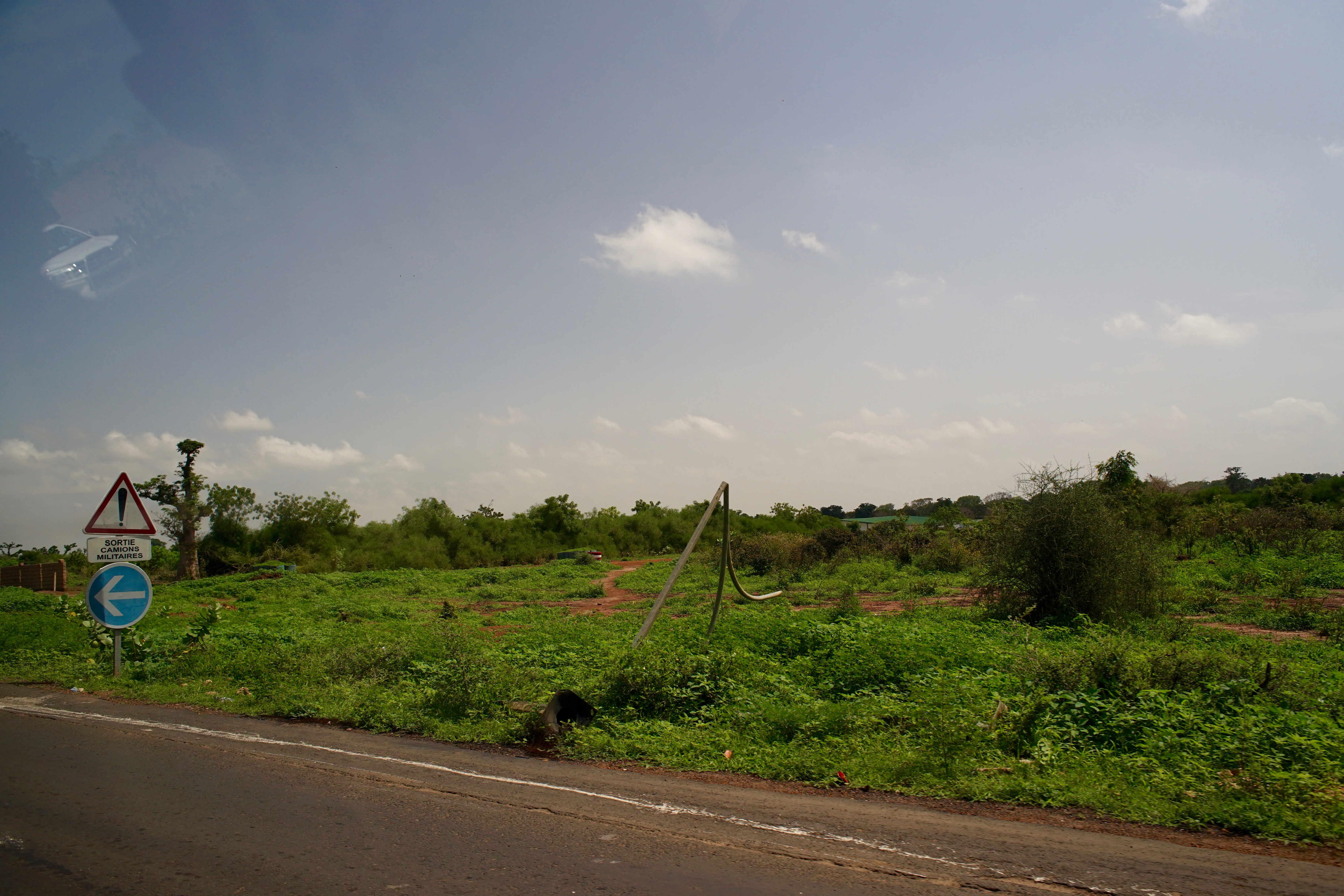
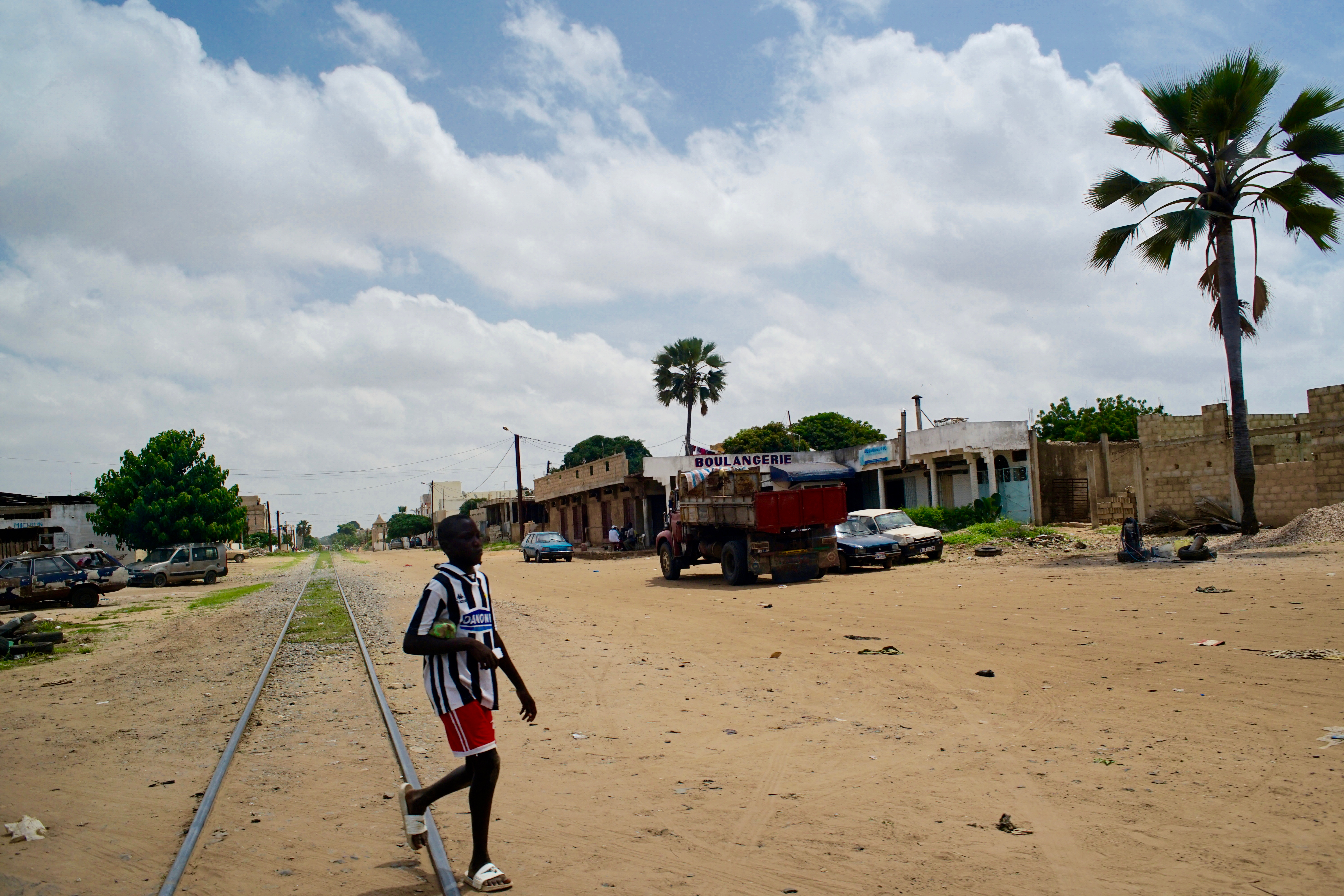
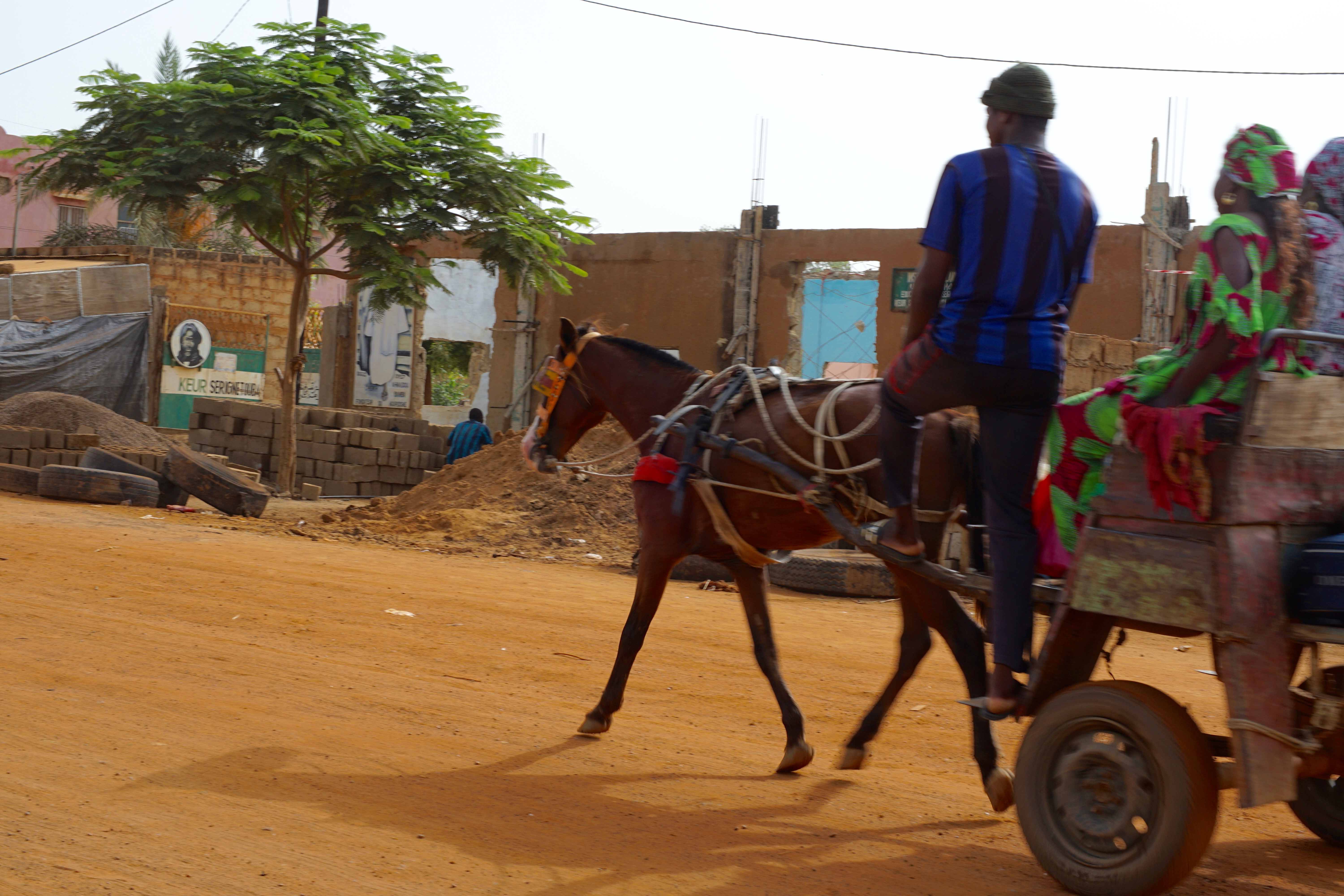
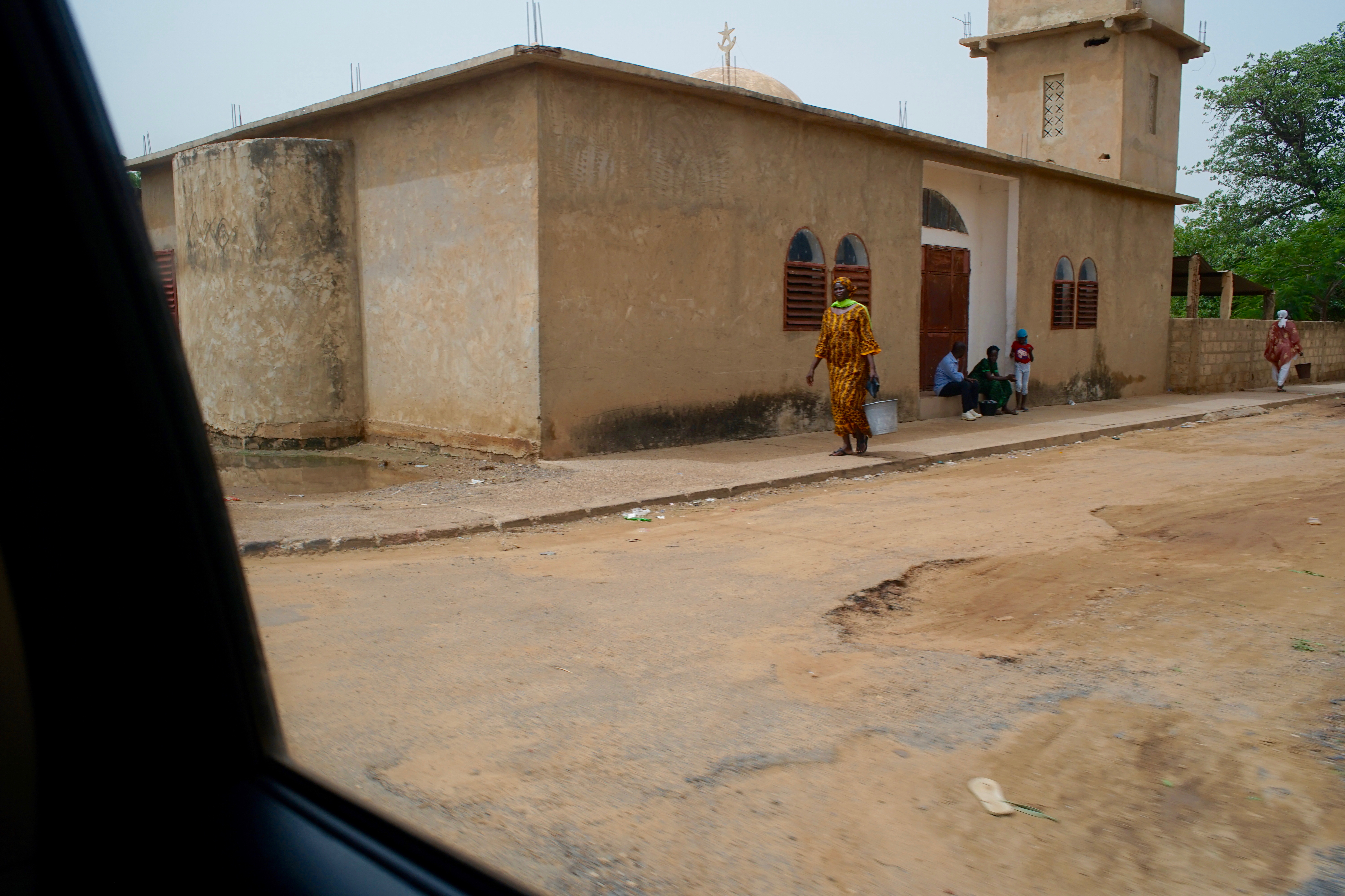
To prepare for our field observations, we traveled from Dakar, the capital of Senegal, to Saint-Louis in the north. These photographs were taken from our vehicle during the journey.
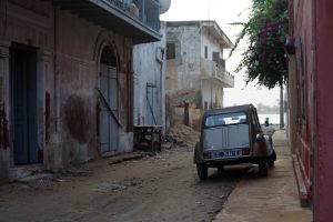
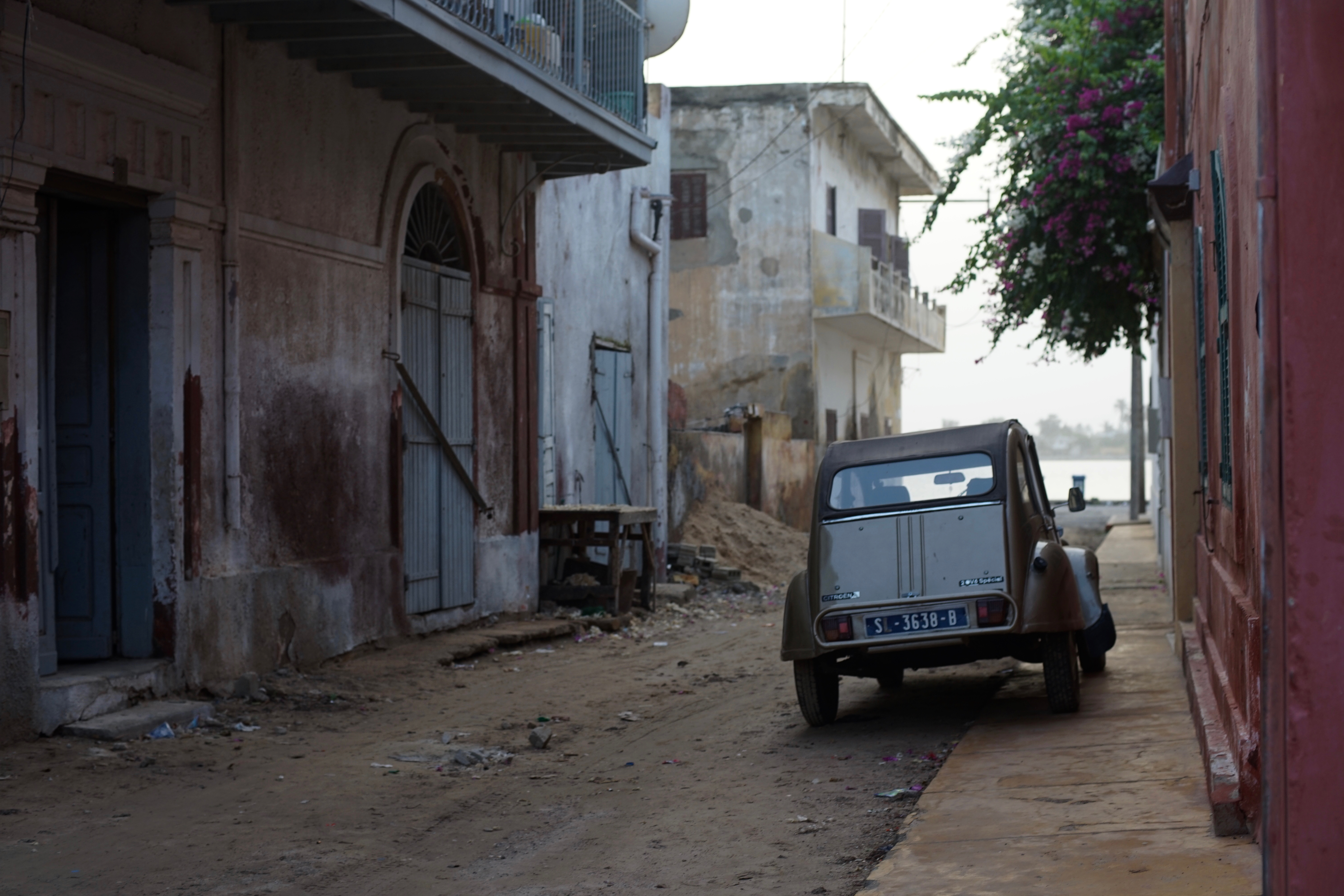
Saint-Louis is a UNESCO World Heritage Site known for its historic colonial architecture dating back to the period of French rule.
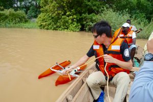
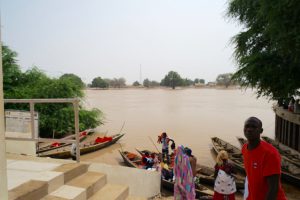
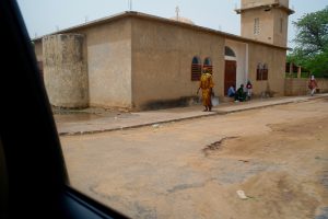
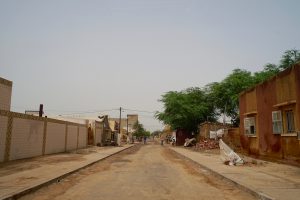
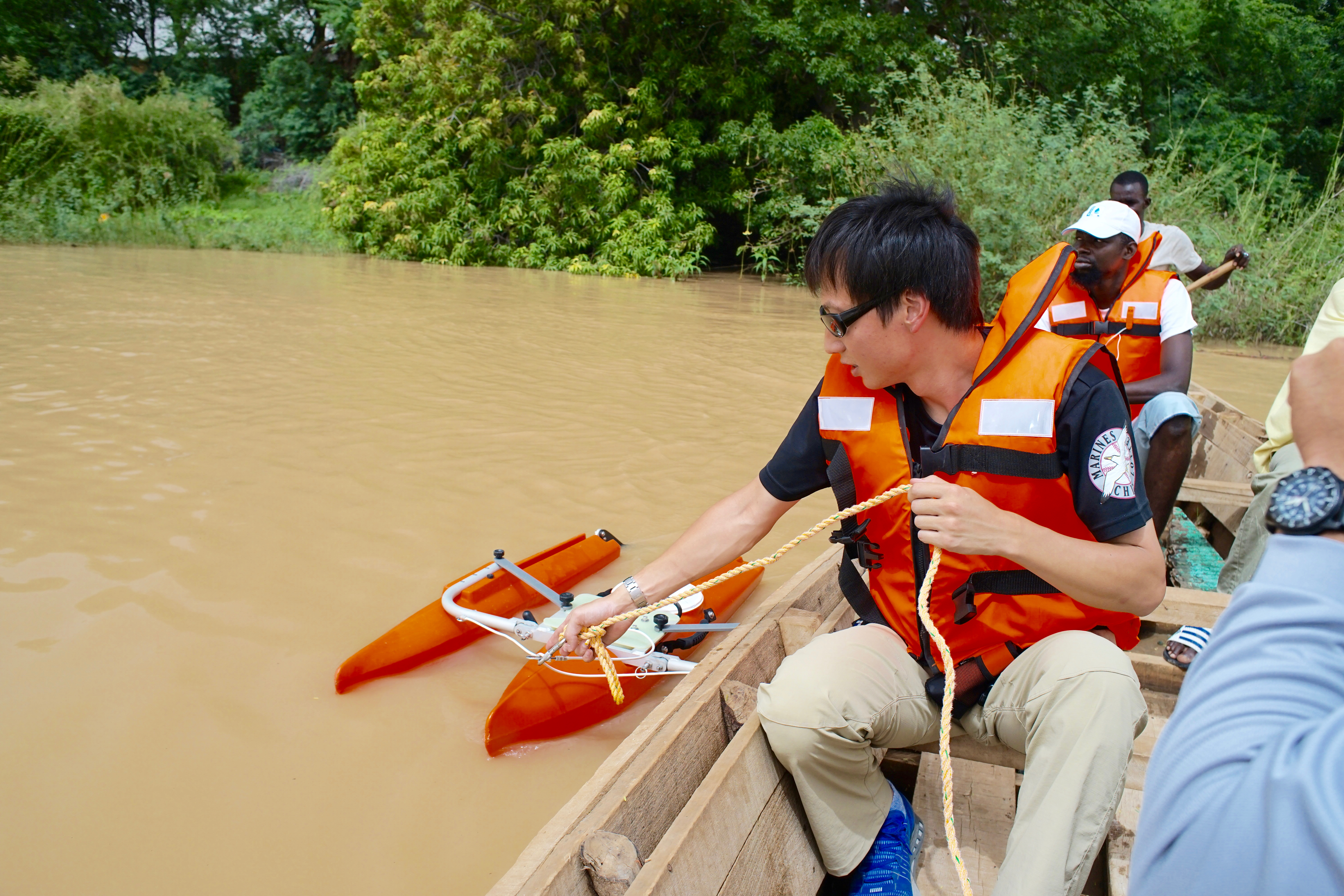
Saint-Louis is located near the mouth of the Senegal River. Using the city as our base, we traveled upstream and measured flow velocities at several locations while crossing the river by boat. On this trip, we traveled approximately 200 km by car to reach the town of Podor.
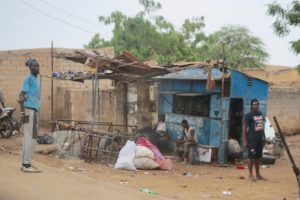
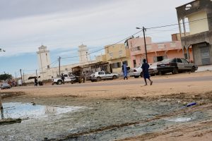
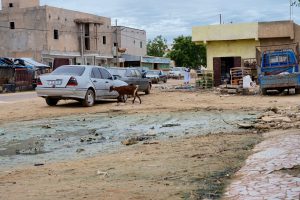
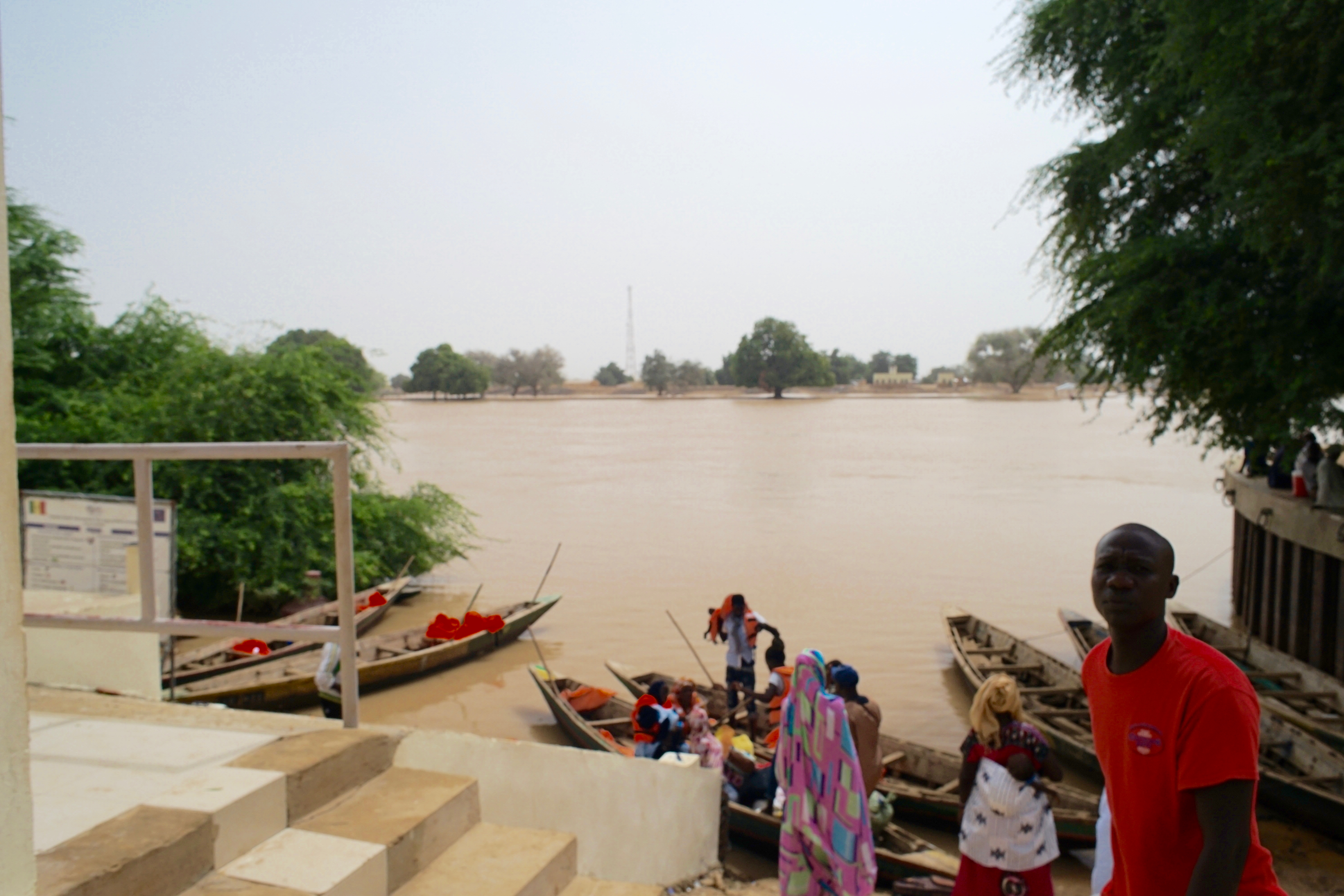
We then crossed the Senegal River northward into Mauritania and continued our field observations from the Mauritanian side. We used Rosso, the third-largest city in Mauritania, as our base.
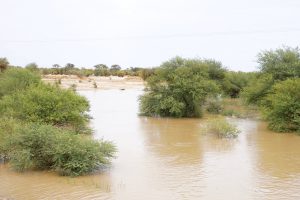
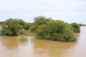
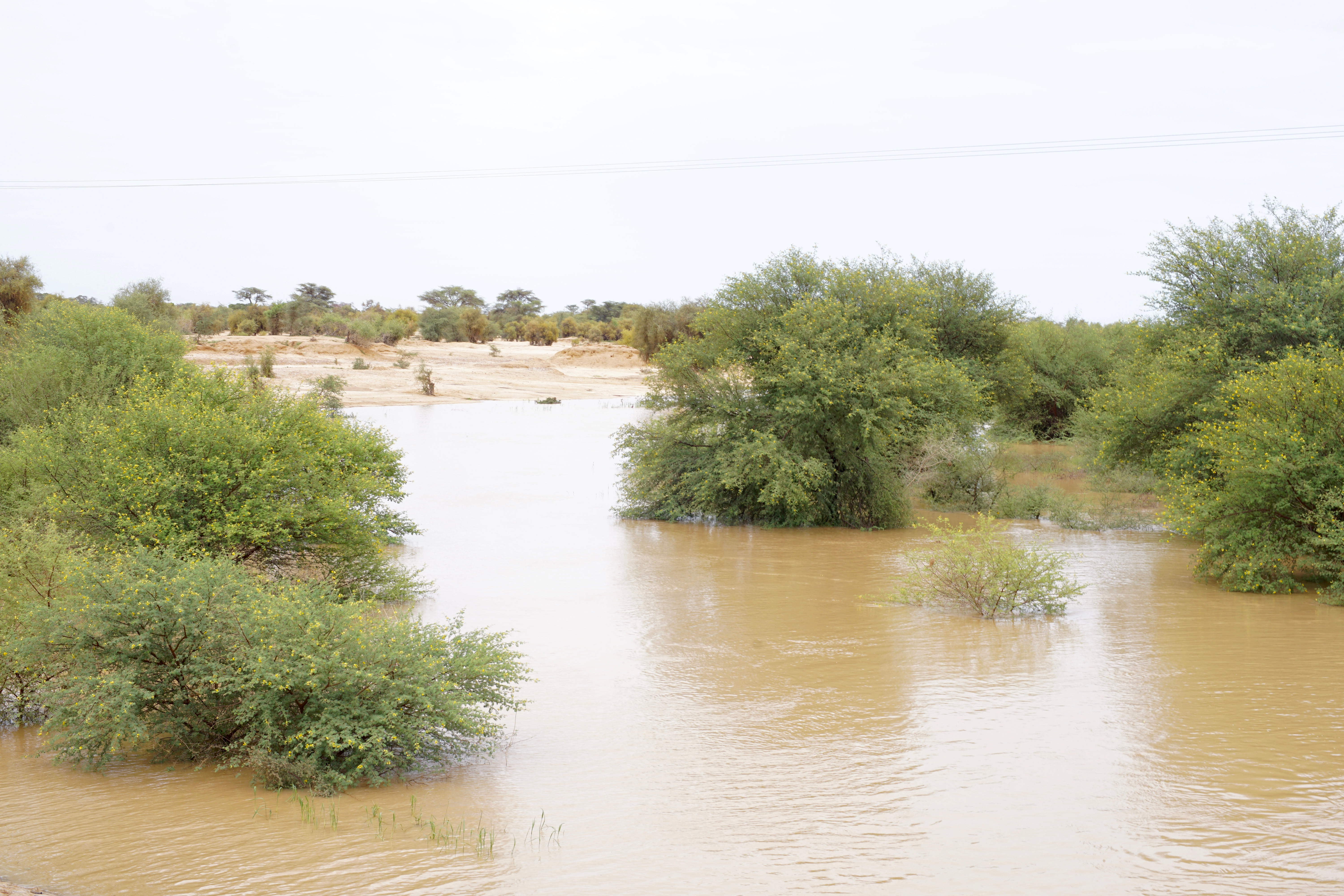
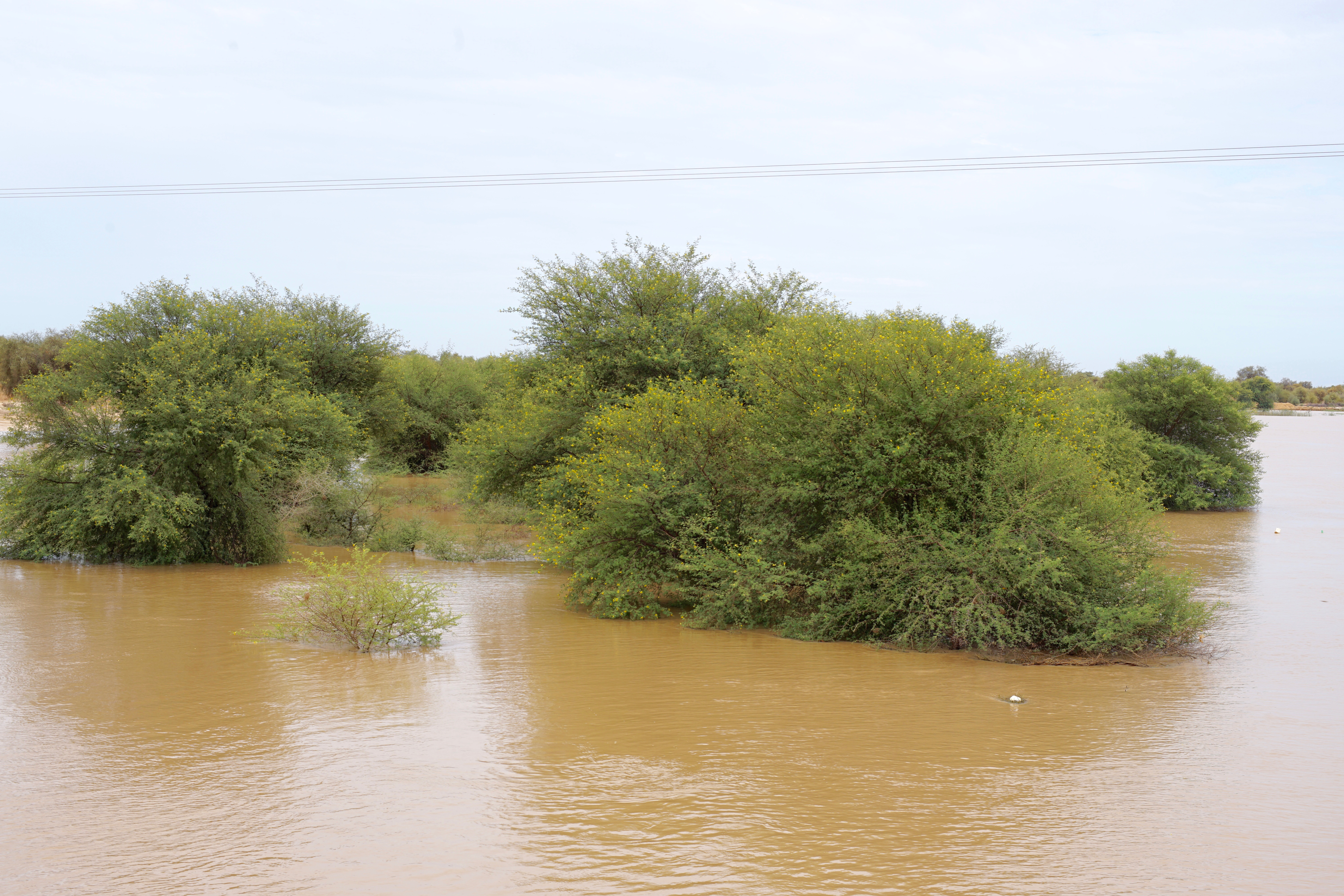
Flooding was spreading across the areas surrounding the Senegal River during the rainy season.
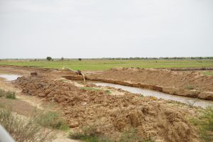
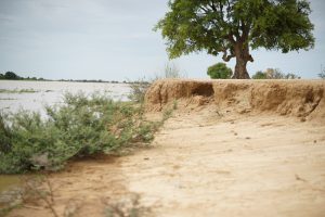
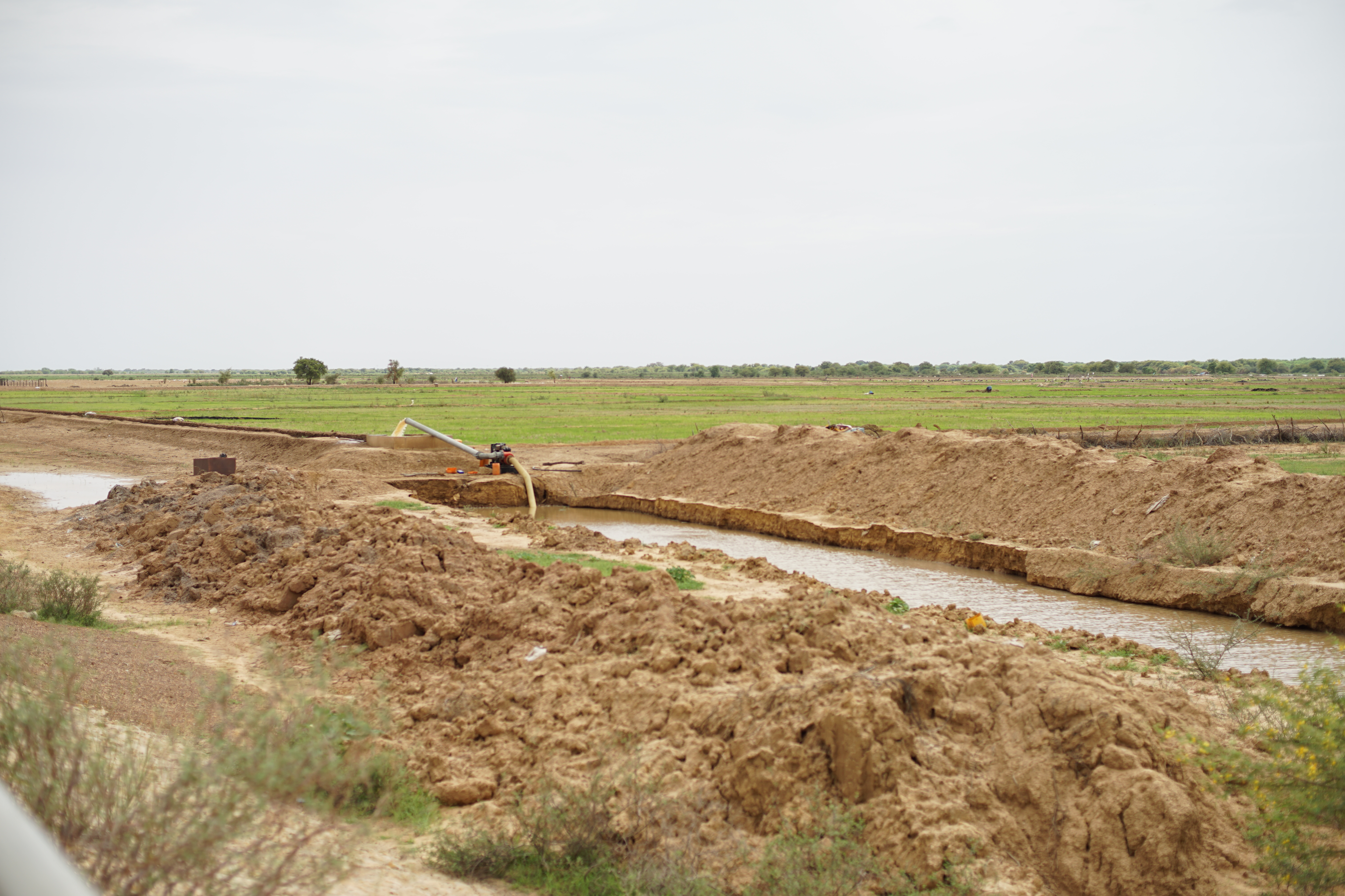
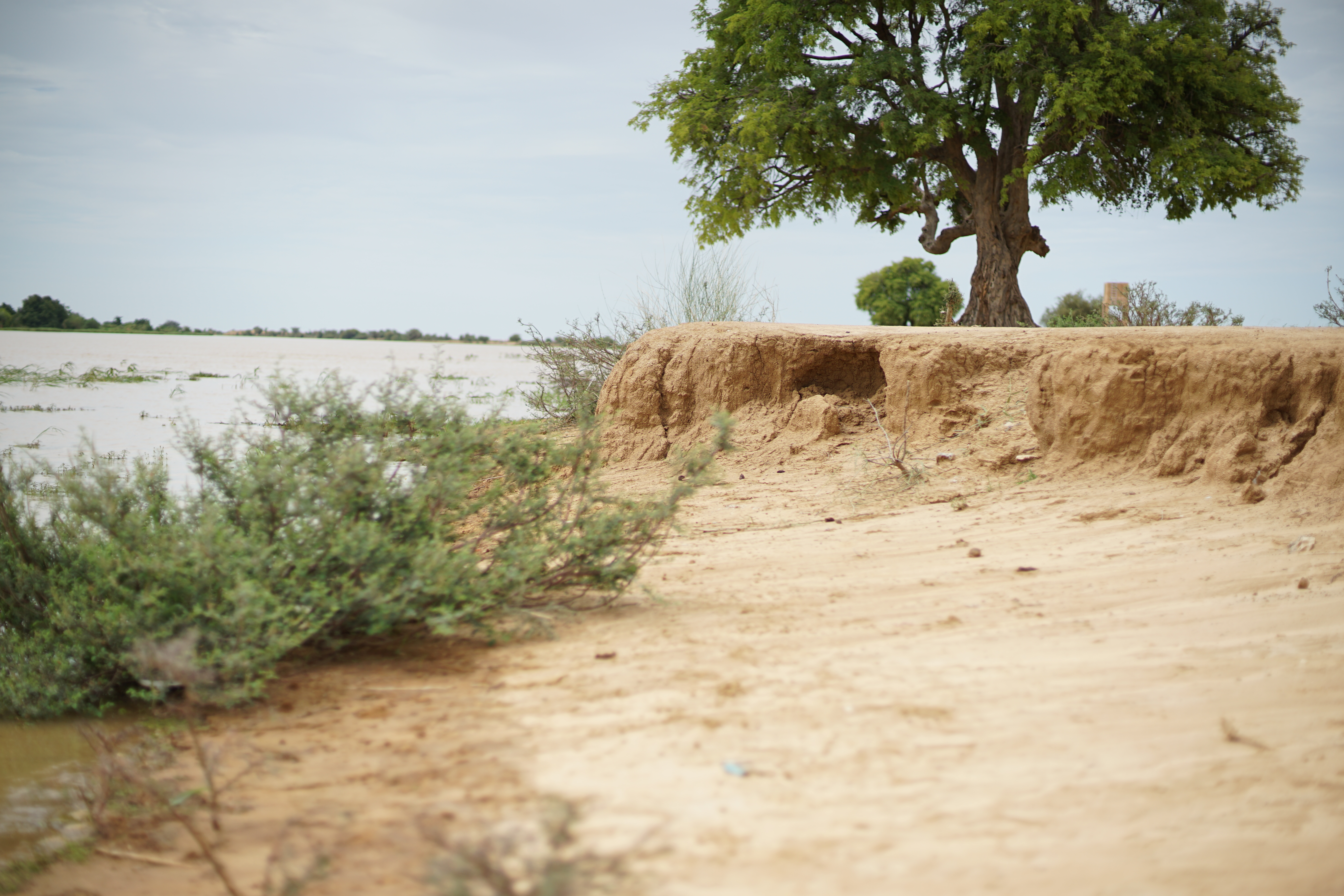
The irrigation canals appeared to be simple excavated channels, and there were no obvious levees along the banks of the Senegal River.
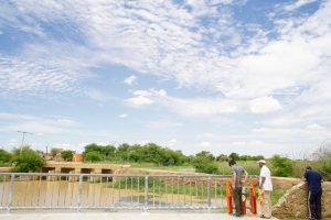
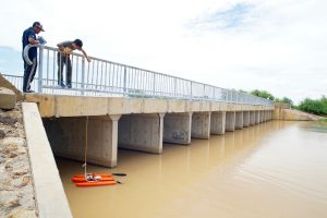
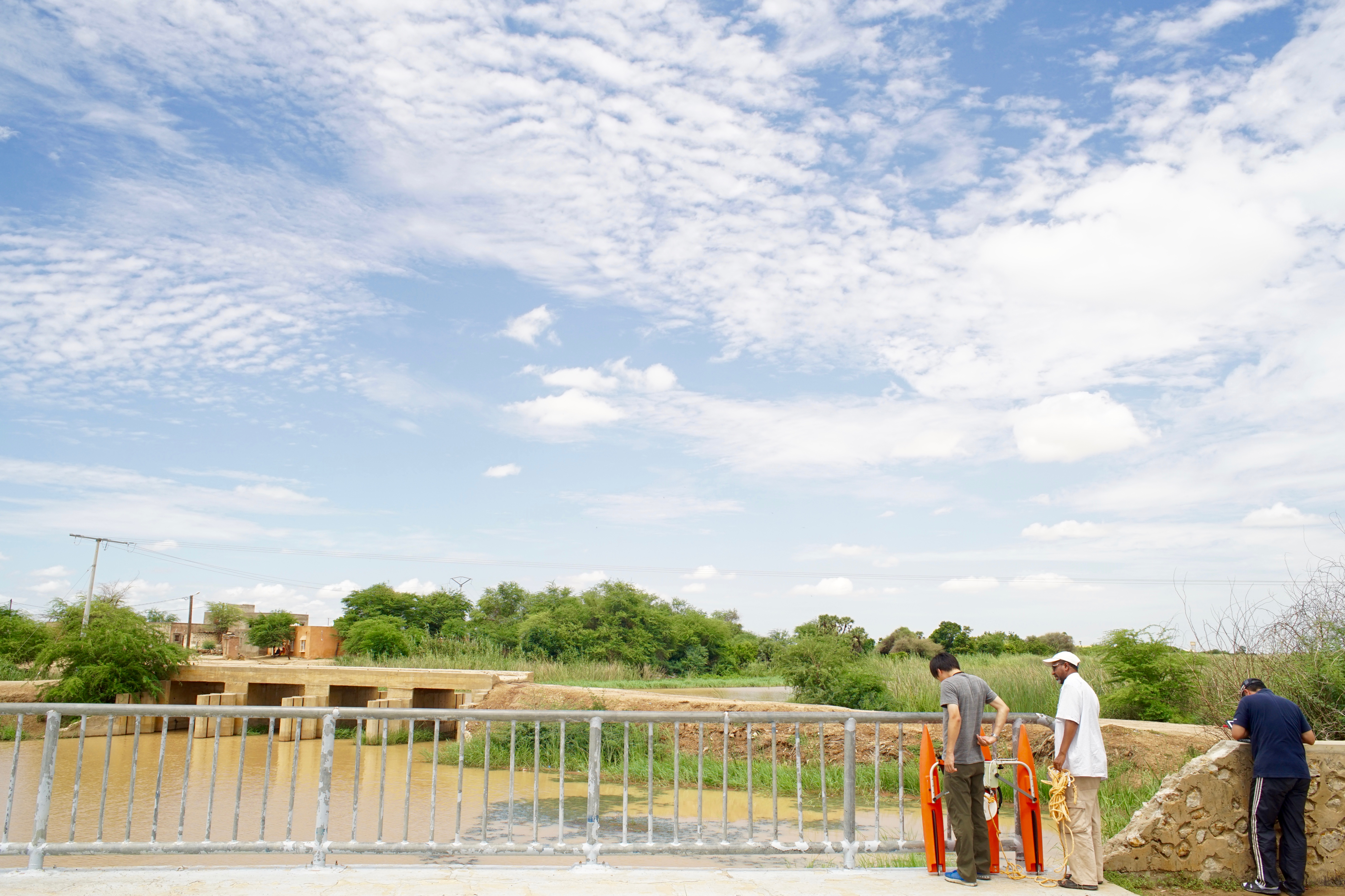
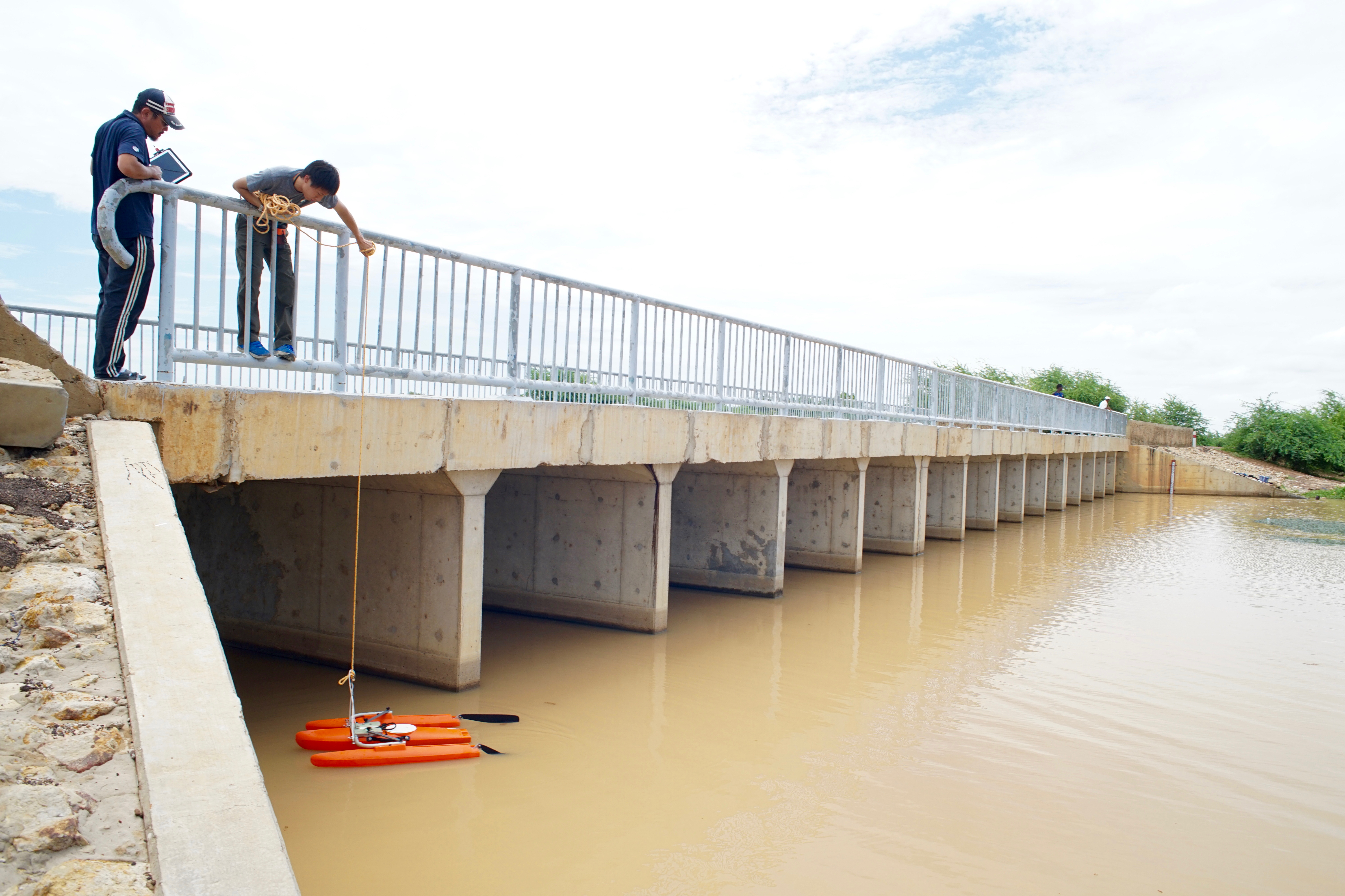
We measured flow velocities from a bridge over one of the major tributaries flowing through the Mauritanian side of the river basin.
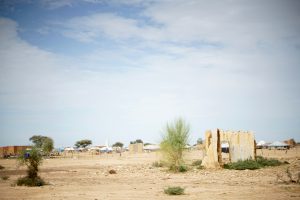
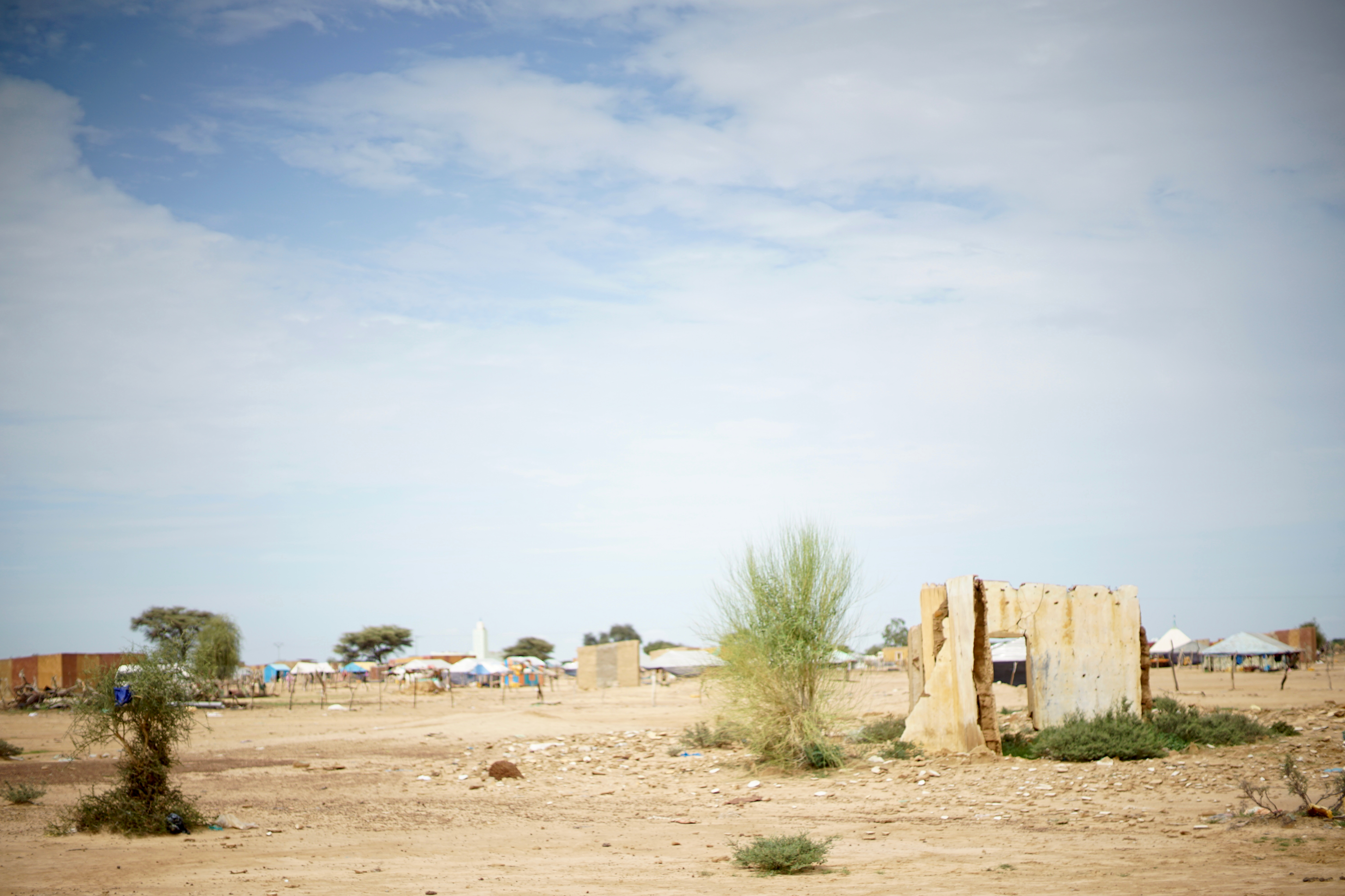
After completing our field observations, we traveled to Nouakchott, the capital of Mauritania. Our journey took us northward along the western edge of the Sahara Desert. We enjoyed views of the desert from the vehicle while traveling along a national highway filled with potholes.
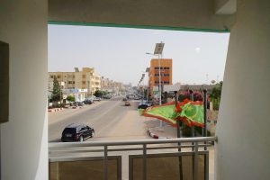
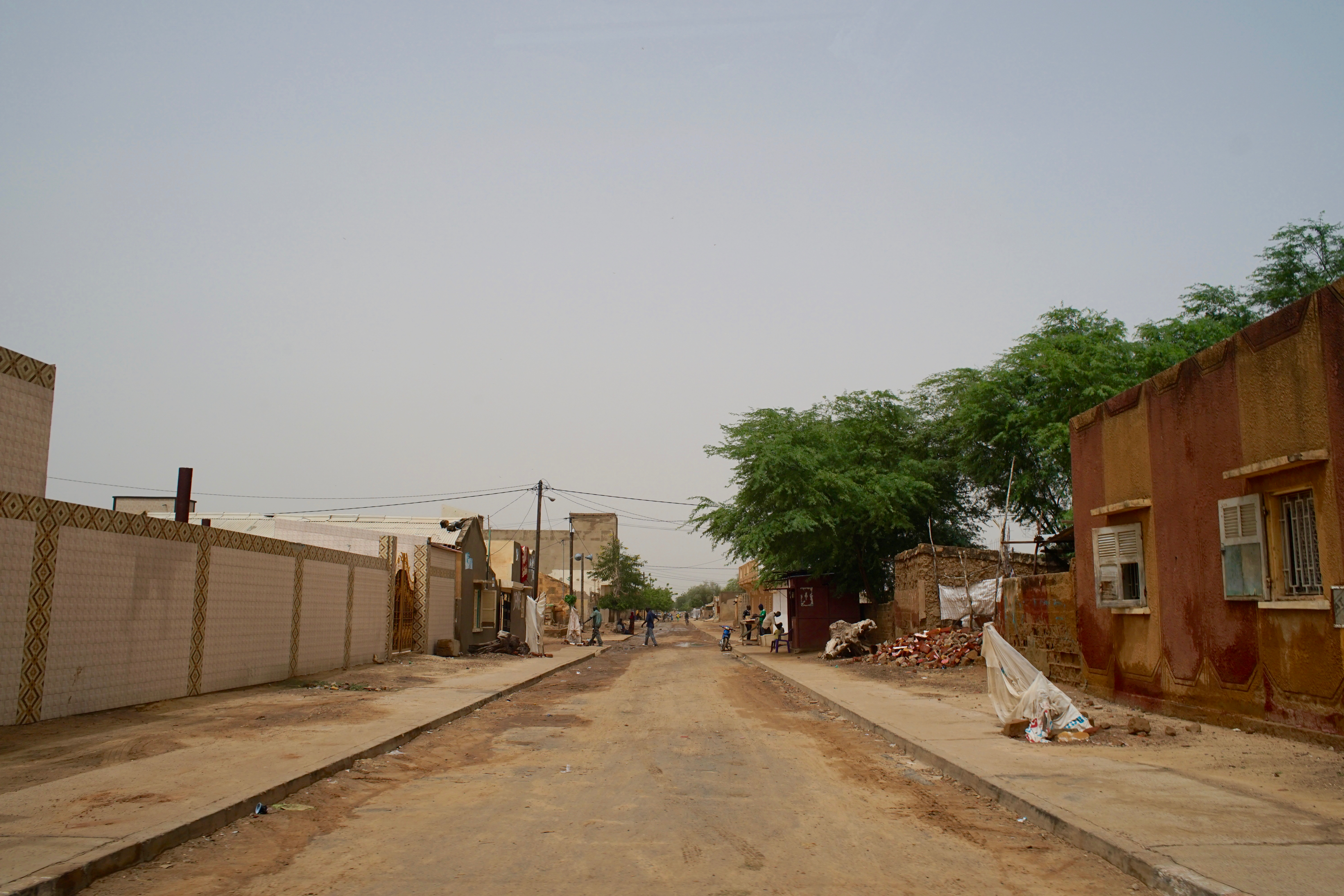
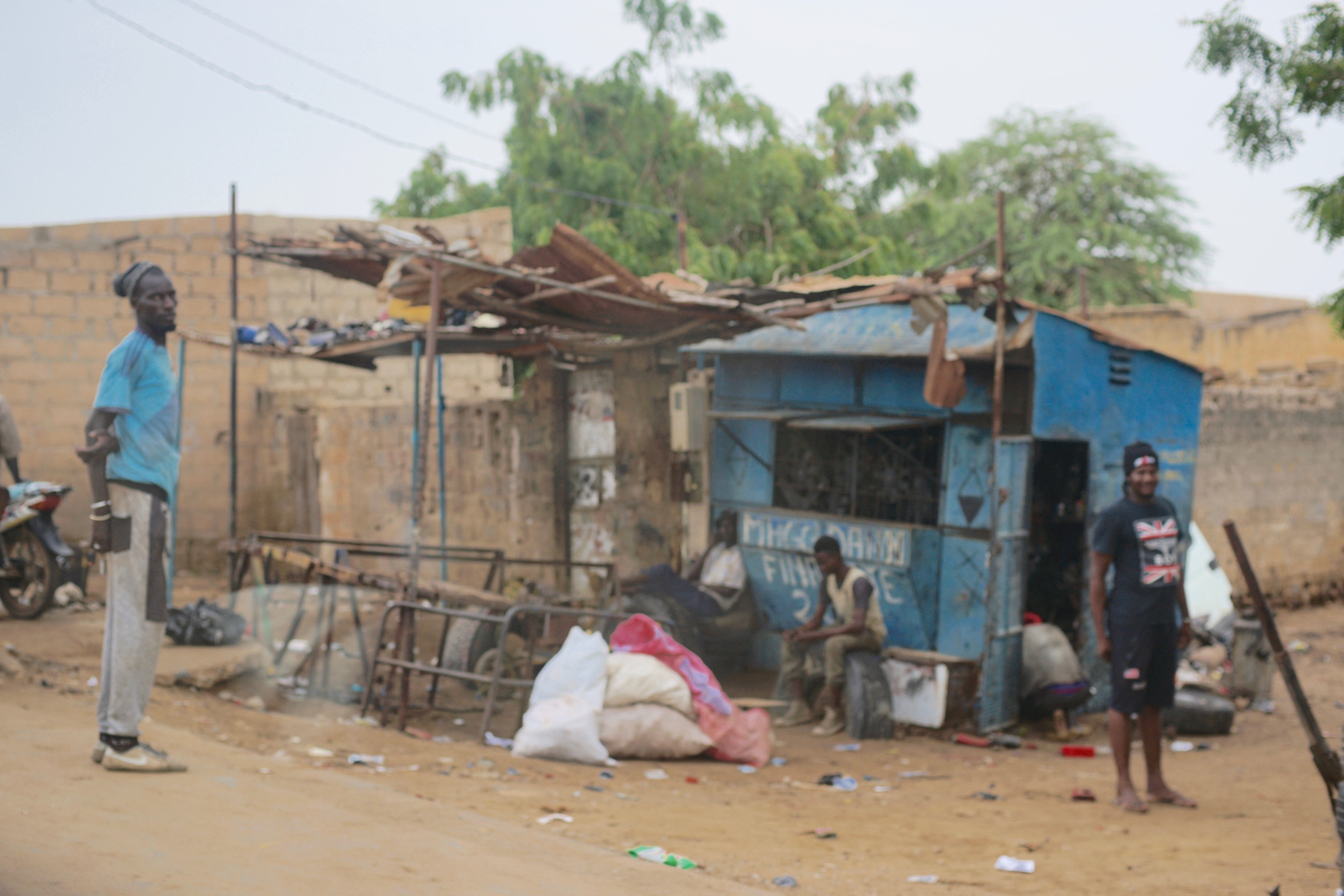
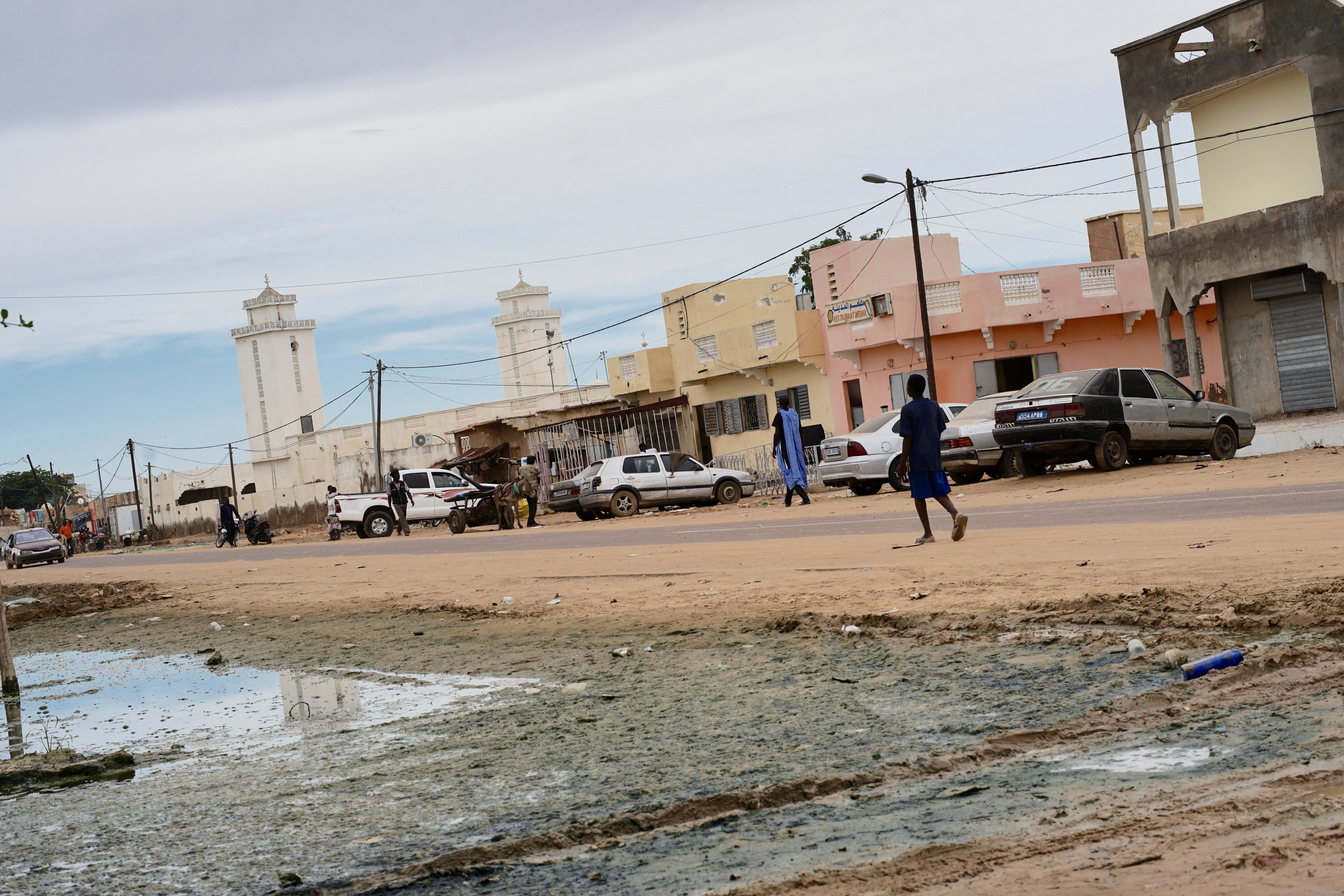
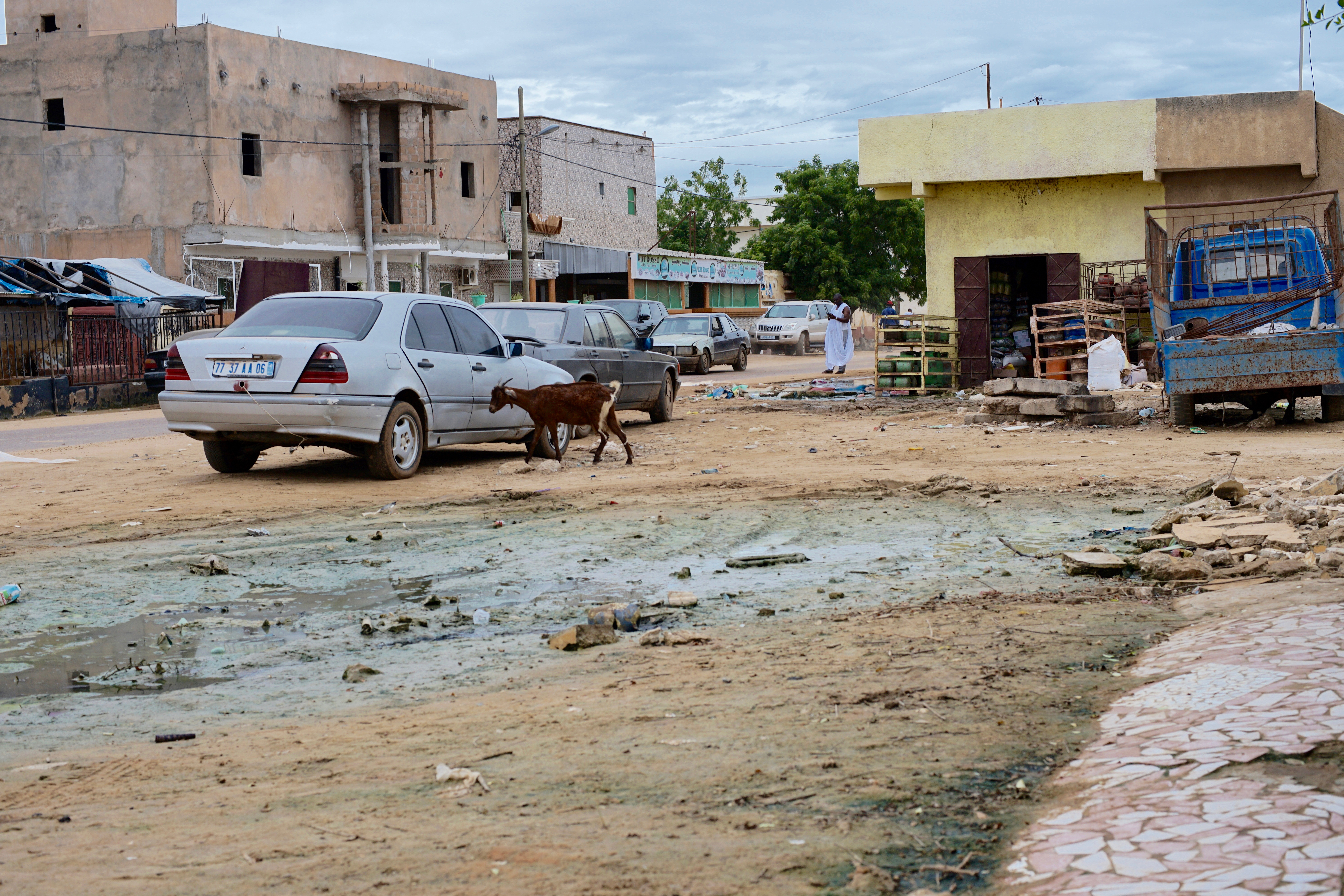
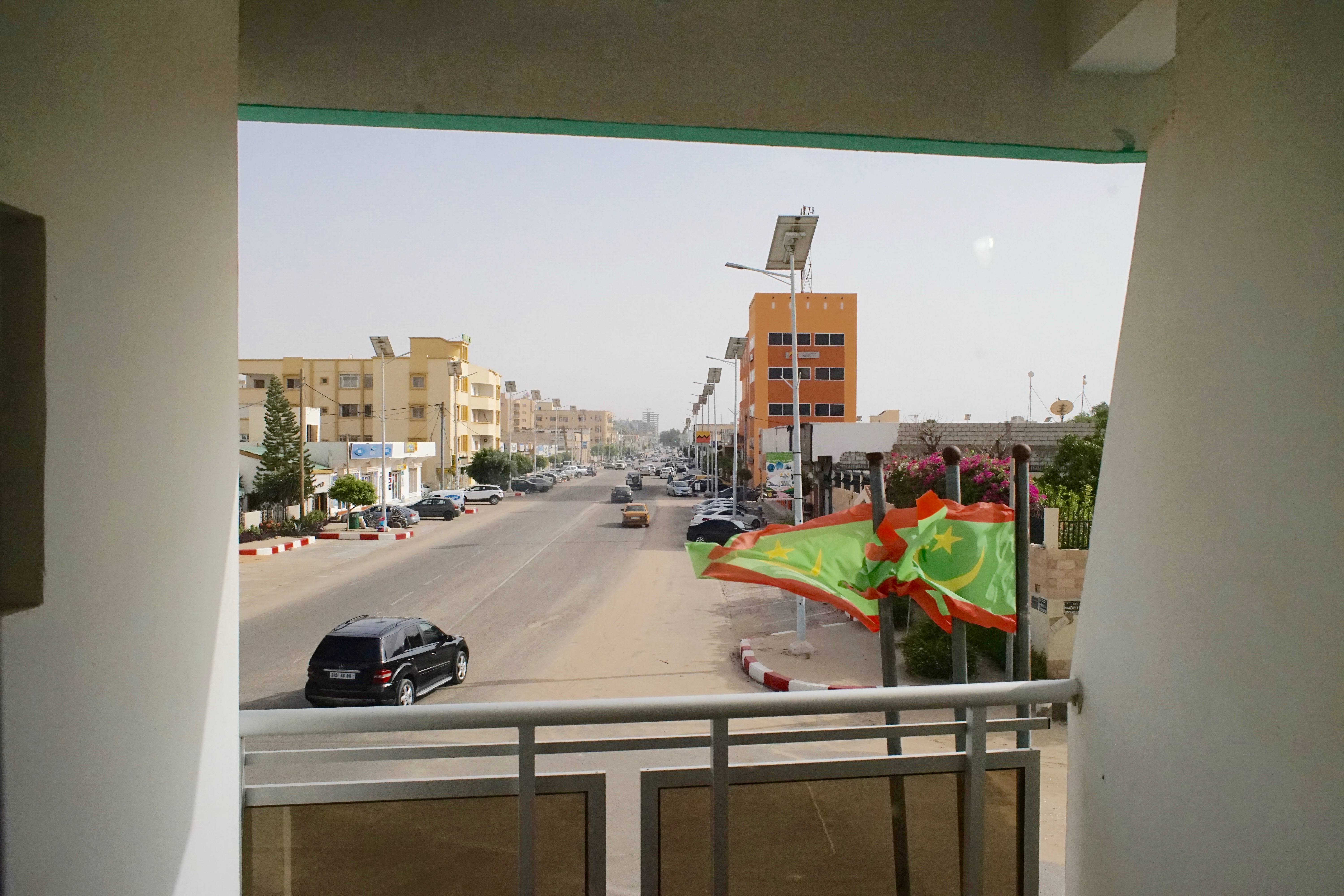
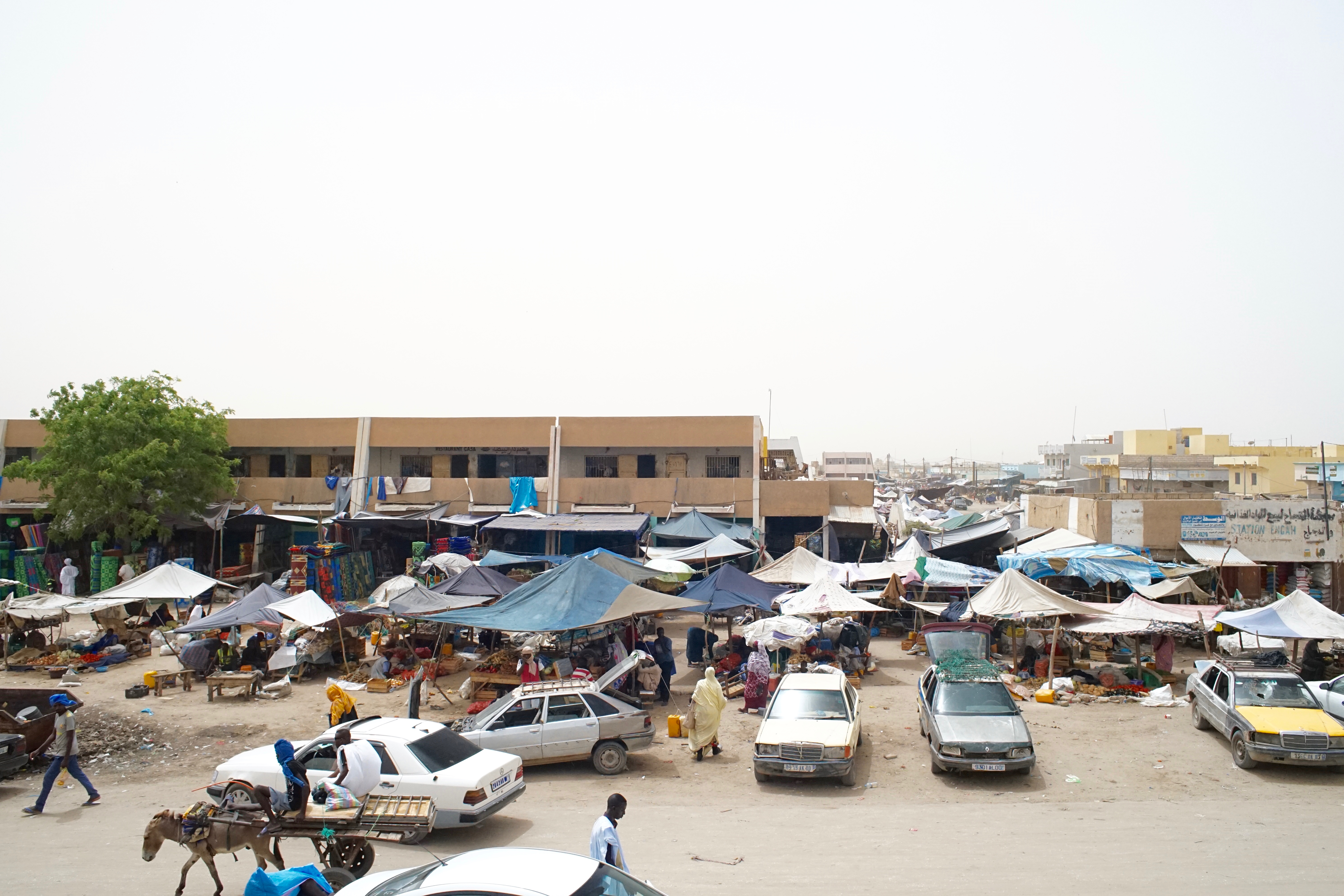
Nouakchott is a modern city. Here, we visited local markets as a preliminary step toward conducting a survey of consumer preferences.
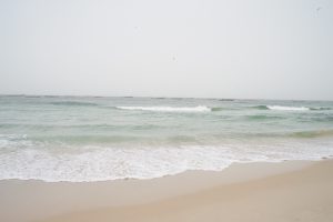
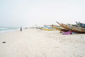
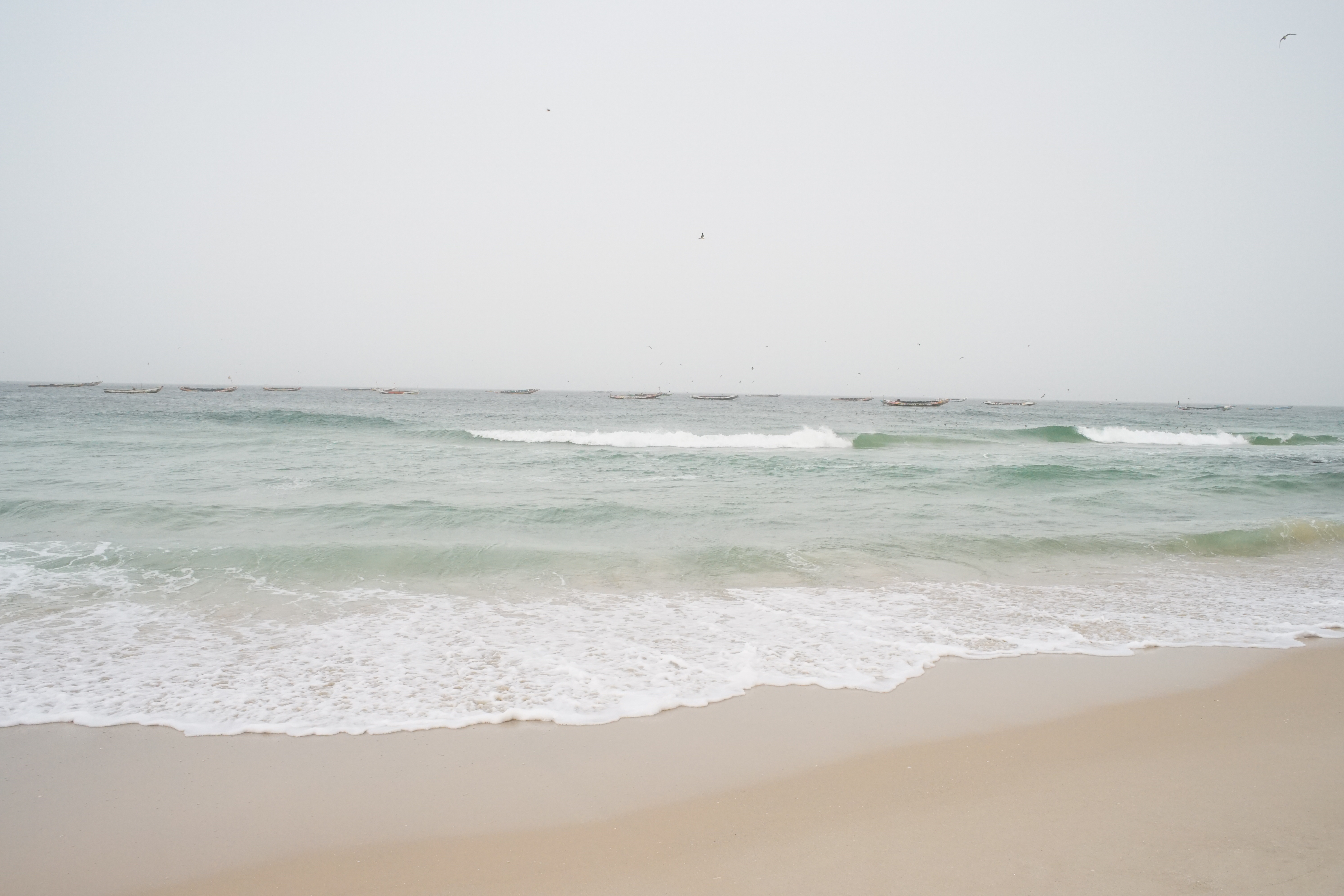
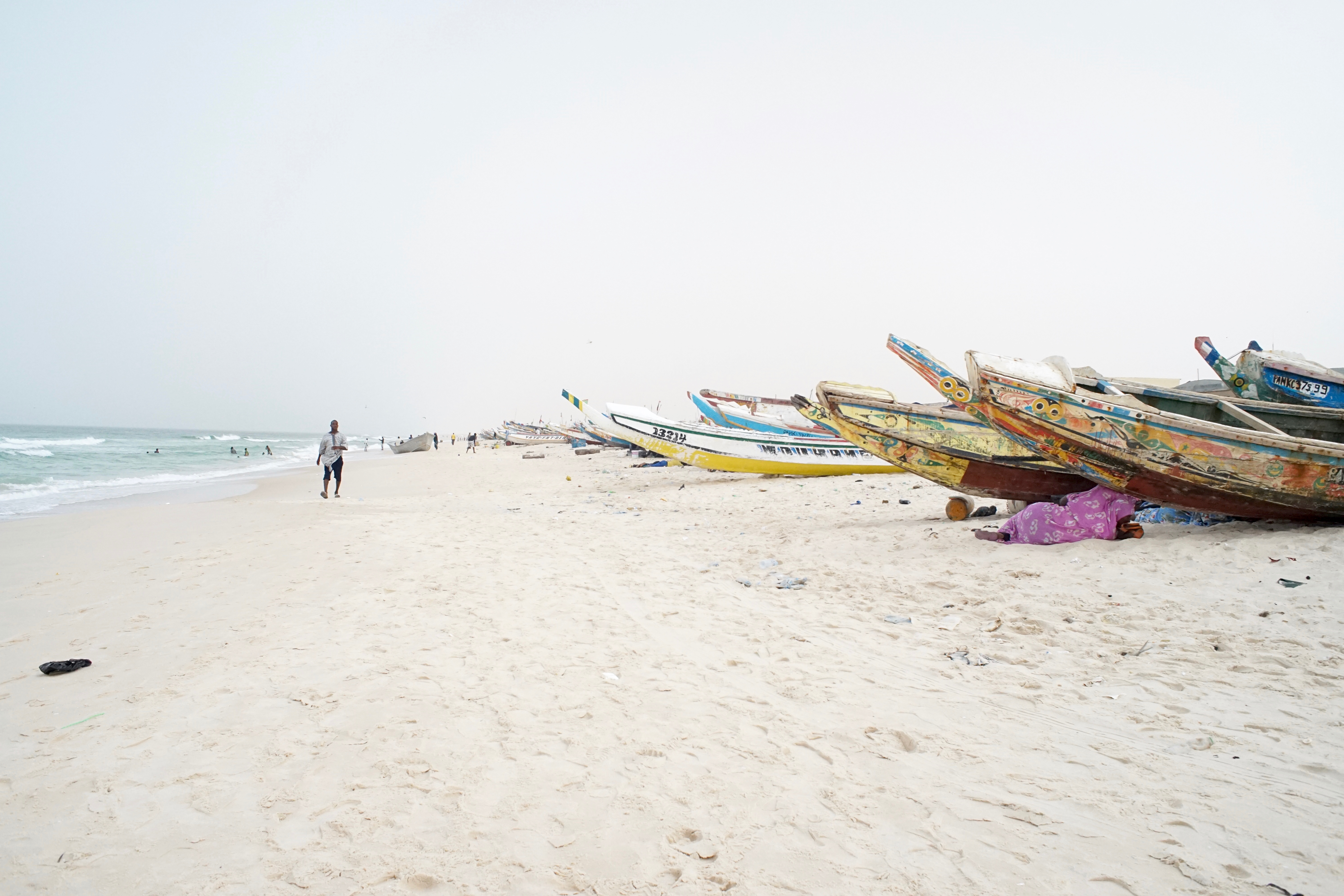
At the fish market on the Atlantic coast, fishermen set out to sea directly from the sandy beach.
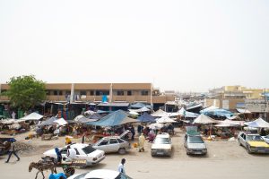
This is a market in the city center, bustling with activity and full of energy.